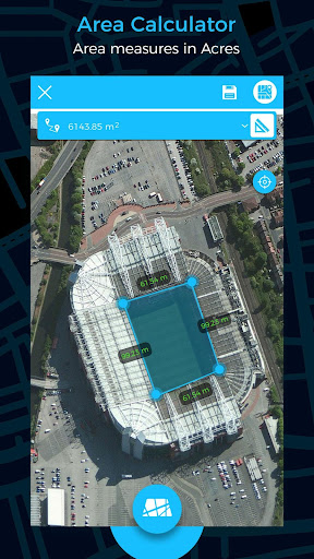
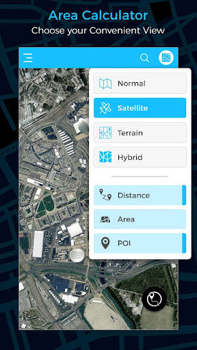
Area Measurement
Easily measure areas on the map using a simple tap-and-drag interface that lets you outline your desired space. Perfect for landscaping, real estate, and land surveying.
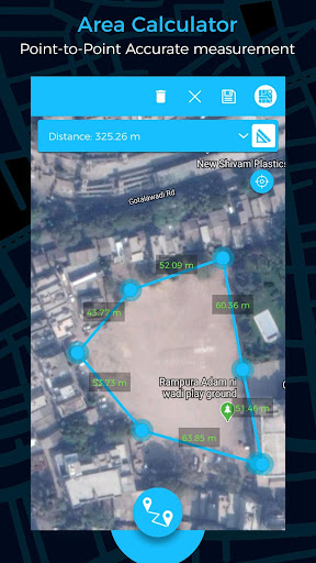
Distance Calculation
Quickly calculate distances between multiple points, allowing users to plan routes, measure hiking trails, and assess property boundaries effortlessly.
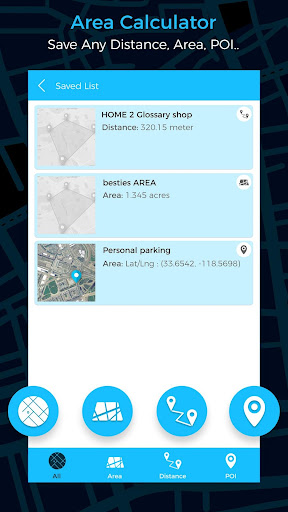
Save and Share Results
Store calculated measurements and share them via email or social media, facilitating collaboration and planning among team members or friends.
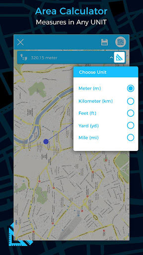
Unit Conversion
Automatically convert measurements between square feet, square meters, acres, and hectares to meet user needs and preferences, enhancing usability for various applications.
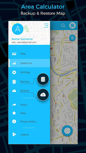
Integrated GPS Functionality
Utilize built-in GPS technology to pinpoint your location and measure real-world areas accurately, ensuring precise results for any project.