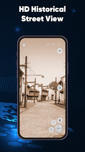
Offline Satellite Imagery
Access high-resolution satellite images without an internet connection, perfect for exploring remote areas or during travel where data service may be limited.
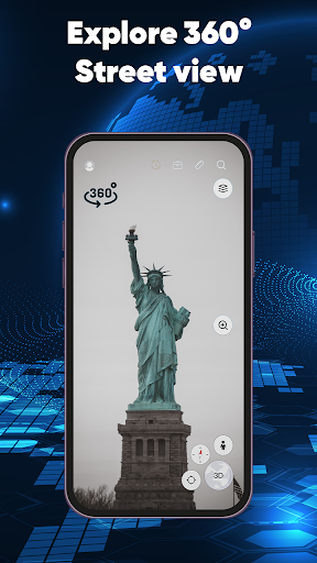
User-Friendly Interface
Navigate easily through an intuitive interface that allows users to quickly find locations, zoom in and out, and view detailed imagery effortlessly.
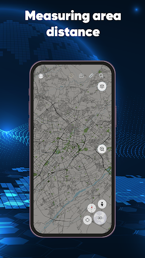
Customizable Maps
Enable users to create personalized maps by adding markers, paths, and notes, making it ideal for planning trips or outdoor activities.
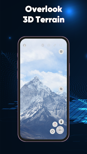
Global Coverage
The app provides comprehensive satellite coverage across the globe, ensuring users can explore virtually any location on Earth.
Regular Updates
Receive periodic updates to satellite imagery ensuring that users always have the most up-to-date view of their chosen areas.